Service Overview
Transform Your Farming with Drone Technology
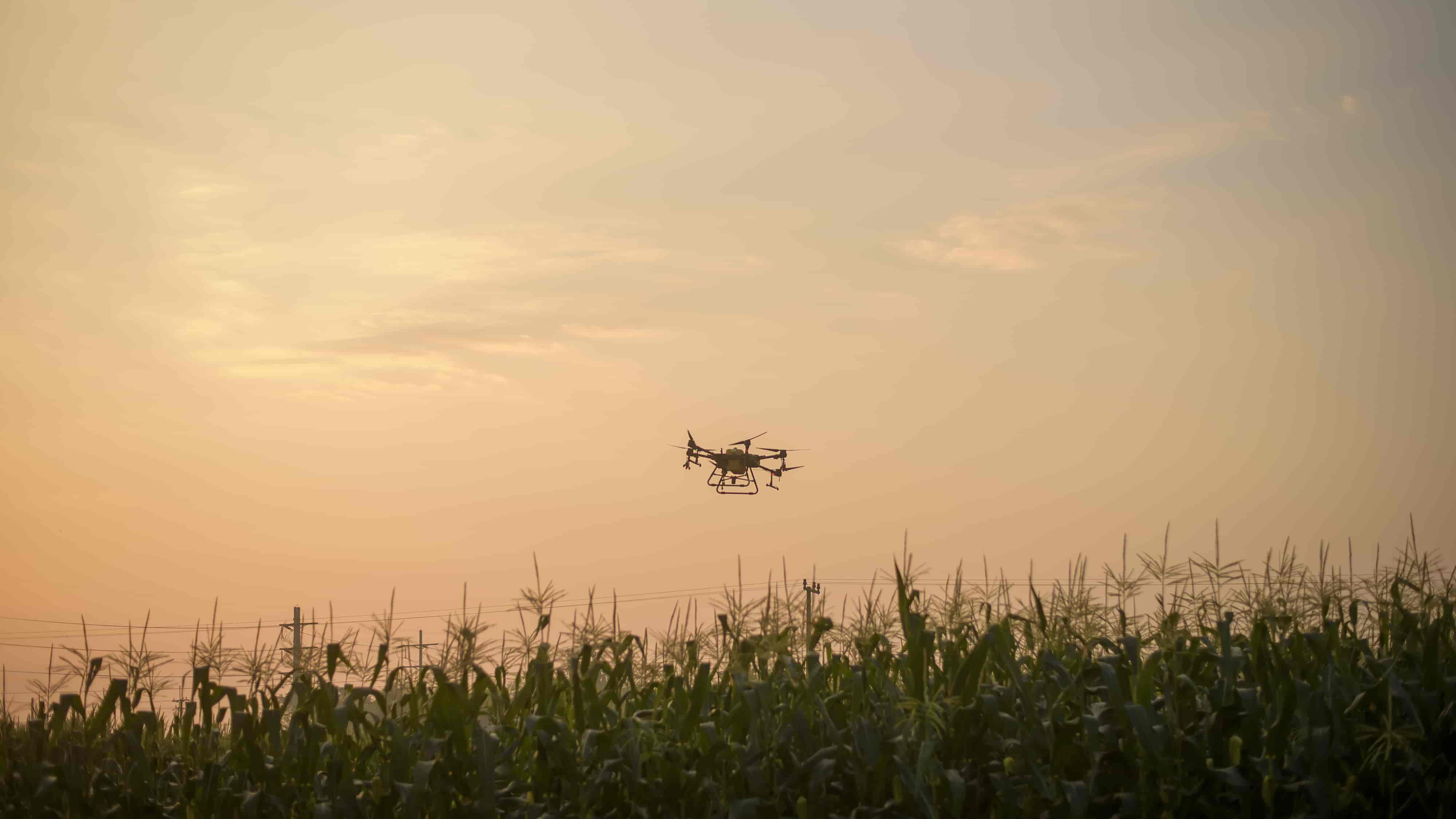
Precision agriculture using drones represents a revolutionary approach to farming that enables data-driven decision making. Our drone services provide detailed insights into crop health, soil conditions, and irrigation needs, allowing you to optimize resources and maximize yields.
Using advanced multispectral and thermal imaging, our drones capture data that's invisible to the naked eye, helping you identify issues before they become visible and affect your crops. This early detection capability can significantly reduce crop loss and increase profitability.
Key Features
Comprehensive Agricultural Solutions
Our precision agriculture services offer a range of capabilities designed to optimize your farming operations and increase productivity.
Crop Health Monitoring
Identify issues early with multispectral imaging that reveals plant health problems invisible to the naked eye.
Irrigation Management
Optimize water usage by identifying areas of water stress and improving irrigation efficiency.
Yield Estimation
Accurately predict crop yields using AI-powered analysis of drone imagery.
Growth Tracking
Monitor crop development over time with regular drone surveys and comparative analysis.
Success Stories
Case Studies
See how our precision agriculture services have helped farmers across Kenya improve their operations and increase profitability.
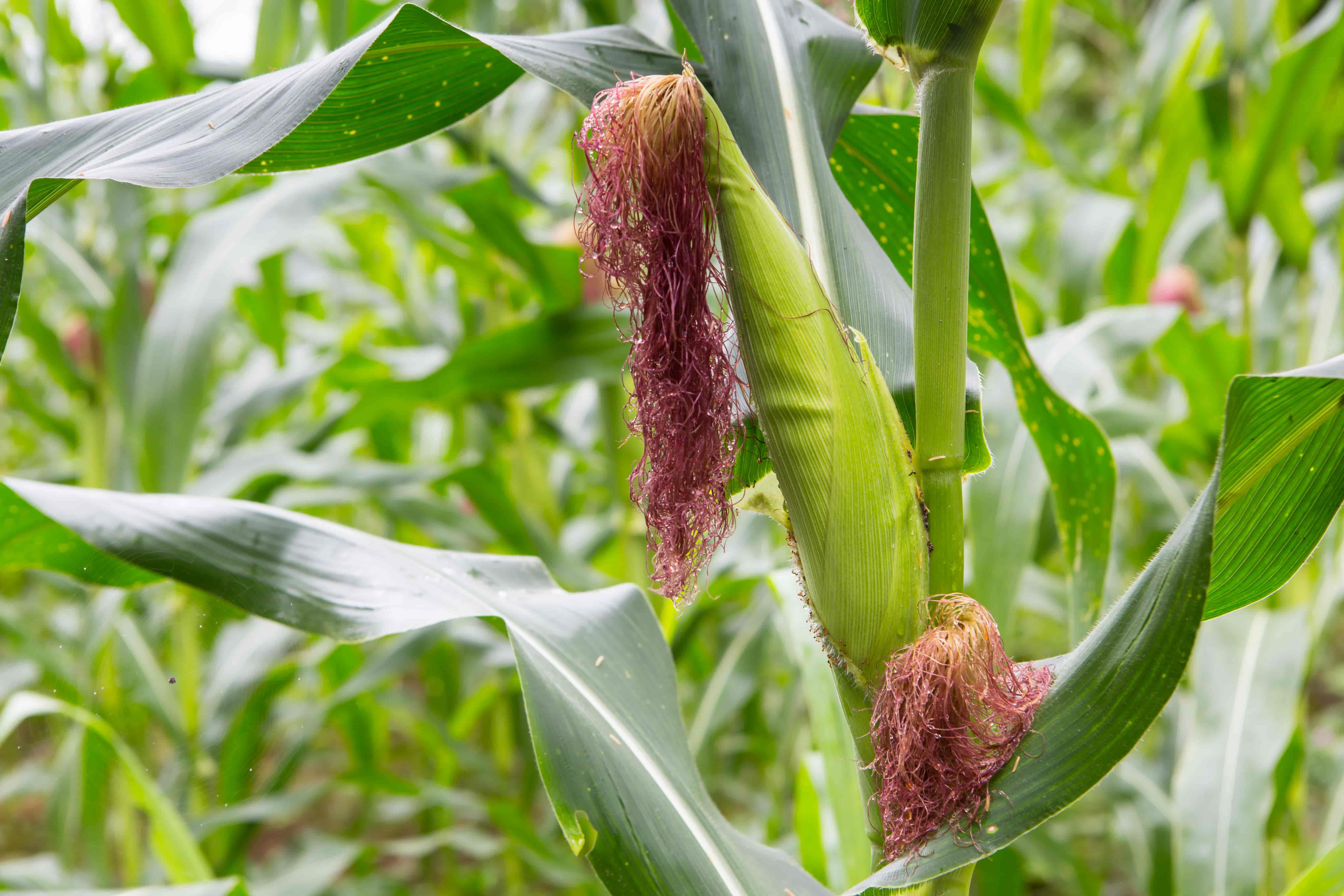
Large-Scale Maize Farm
Helped a 500-acre maize farm identify nutrient deficiencies early, resulting in a 15% increase in yield.
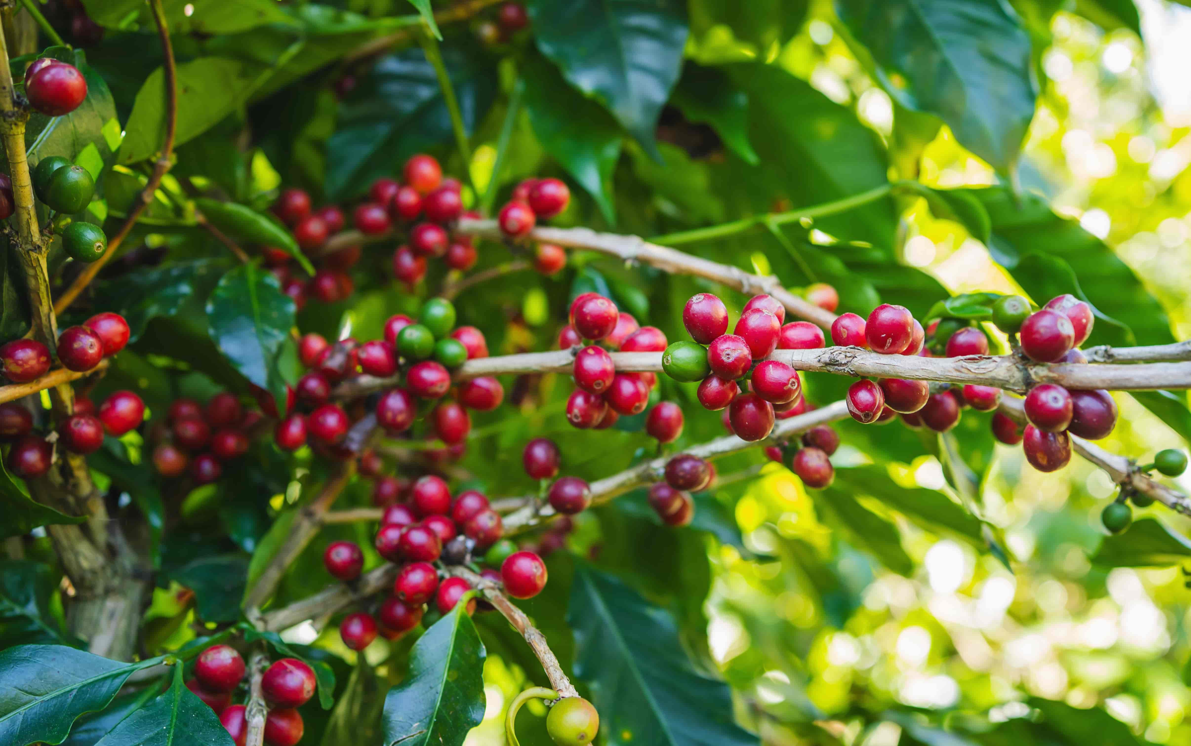
Coffee Plantation
Provided regular monitoring for a coffee plantation, enabling early pest detection and reducing pesticide use by 30%.
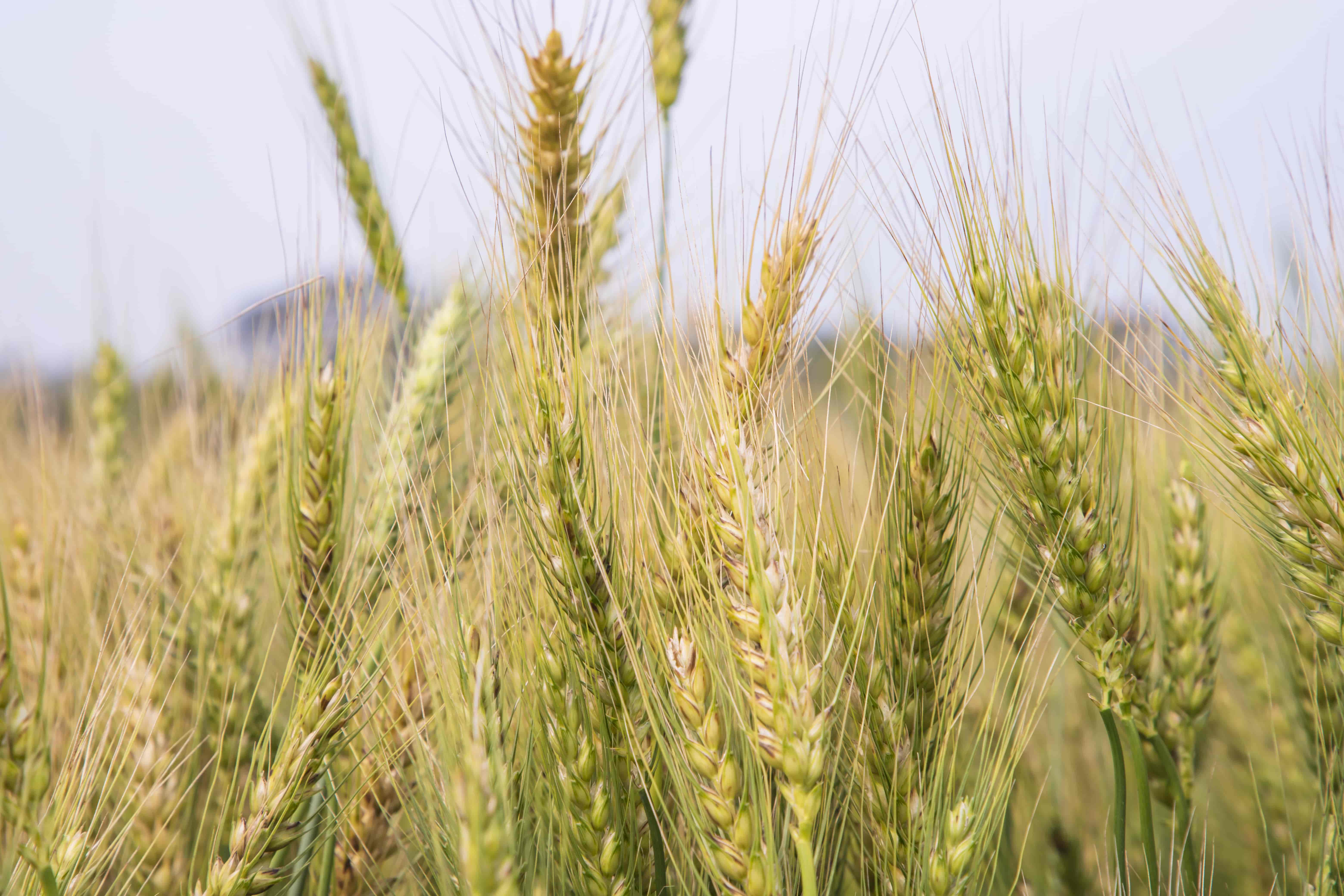
Wheat Field Irrigation
Optimized irrigation for a 300-acre wheat field, reducing water usage by 25% while maintaining crop health.
Why Choose Us
Our Advantage
Expert Analysis
Our team includes agricultural experts who interpret drone data to provide actionable insights specific to your crops and conditions.
Fast Turnaround
Receive analyzed data within 24-48 hours of drone flight, allowing for quick decision-making and timely interventions.
Advanced Technology
We use the latest multispectral and thermal imaging technology to capture comprehensive data about your crops and fields.
